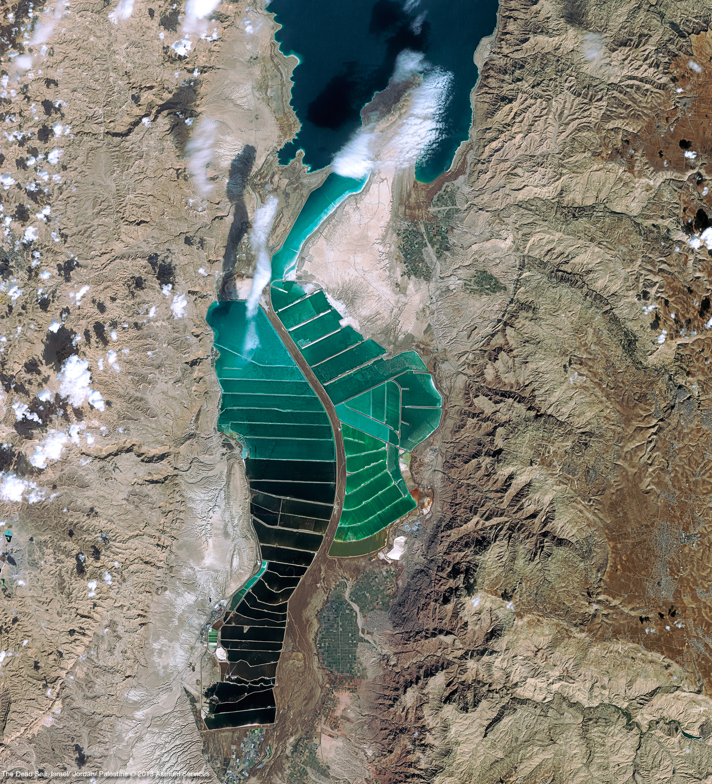
SPOT 6 & 7

With SPOT 6 and SPOT 7 Astrium Geo is introducing a complete new design for the product line of the SPOT series. Thanks to many improvements in both space and ground segments, a special efforts have been made to make this new product line much easier to handle, moving forward the standard of satellite imagery to a new era. With these sensors Astrium is not only securing mission continuity of the SPOT series, which has been collecting an archive of more than 30 million of scenes since 1986: this new generation of optical satellites also features technological improvements and advanced system performance that increase turn-around time and acquisition capacity as well as simplification of data access.
SPOT-6 was successfully launched on September 9, 2012. The technical commissioning of the satellite was successfully completed with the system provider, Astrium Satellites, on December 14, 2012. All the satellite functions and performances are nominal, in some cases even exceeding specifications.
SPOT 6 and SPOT 7 will provide 1.5 metre resolution products over broad areas until 2024.
specifications of SPOT 6 and SPOT 7 Sensors
| Optical system | One instrument made of 2 identical Korsch telescopes, each with a 200 mm aperture, delivering the expected swath. |
|---|---|
| Detectors | PAN array assembly: 28,000 pixels |
| MS array assembly: 4 x 7000 pixels | |
| Spectral bands | Panchromatic: 0.450-0.745 mm |
| Blue: 0.450-0.520 mm | |
| Green: 0.530-0.590 mm | |
| Red: 0.625-0.695 mm | |
| Near Infrared: 0.760-0.890 mm | |
| The 5 bands are always acquired simultaneously. | |
| Swath | 60km at nadir |
| Stereo Capability | Single pass stereo and tri-stereo(Fore, Nadir and Aft mode) |
| Bit Depth | 12 bits per pixel |
| Location accuracy specification | 35m CE 90 without GCP within a 30° viewing angle cone |
| 10m CE90 for Ortho products where Reference3D is available | |
| Acquisition capacity | Up to 6 million sq.km daily with SPOT 6 and SPOT 7 when operating simultaneously |
| Orbit | Sun-synchronous; 10:00 AM local time at descending node |
| Viewing angle | Standard: +/-30° in roll | Extended: +/-45° in roll |
| Revisit | 1 day with SPOT 6 and SPOT 7 operating simultaneously |
| Between 1 and 3 days with only one satellite in operation` | |
| Launch Periods | SPOT 6 : Launched on September 9th, 2012 |
| SPOT 7 : Launched on June 30th, 2014 |
SPOT-6 is expected to help customers in defense, agriculture, deforestation, environmental monitoring, coastal surveillance, engineering, oil, gas and mining industries.
Products:
SPOT 6 provides Mono, Stereo and Tristereo products.
Processing Levels:
Primary:
The Primary product is the processing level closest to the natural image acquired by the sensor. This product restores perfect collection conditions: the sensor is placed in rectilinear geometry, and the image is clear of all radiometric distortion. The Primary product is optimal for clients familiar with satellite imagery processing techniques wishing to apply their own production methods (orthorectification or 3D modeling for example). To this end, RPCs and the sensor model are provided with the product to ensure full autonomy and simplicity for users.
Ortho:
The Ortho product is a georeferenced image in Earth geometry, corrected from acquisition and terrain off-nadir effects. The Ortho is produced as a standard, with fully automatic processing.The Standard Ortho product is an image that has been corrected (viewing angle and ground effects) so that it may be superimposed on a map. On top of radiometric and geometric adjustments, a geometric process using a relief model (known as orthorectification) eliminates the perspective effect on the ground , restoring the geometry of a vertical shot. It can be used and ingested directly into a Geographic Information System. The standard 3D model used for ground corrections is the worldwide Reference3D dataset, which is part of Astrium’s Elevation30 suite. Ortho products is not available in case of stereo and Tristereo products.

